LONELY BOTHIES, WILD RIVERS AND A LONG, LONG MOUNTAIN DAY
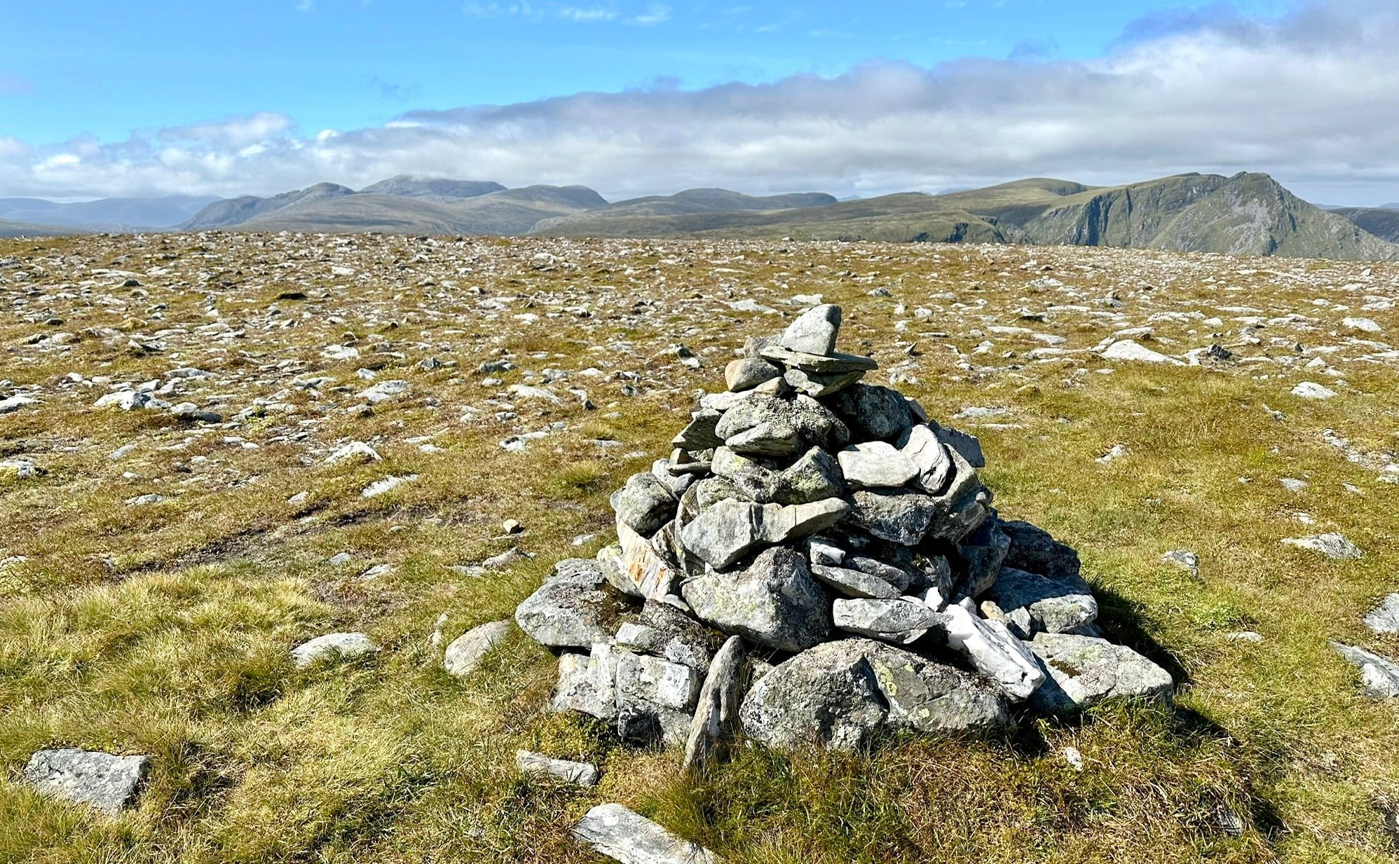
LONELY SUMMIT: The view from Carn Ban cairn to the Beinn Dearg hills, left, and Seana Bhraigh peaks
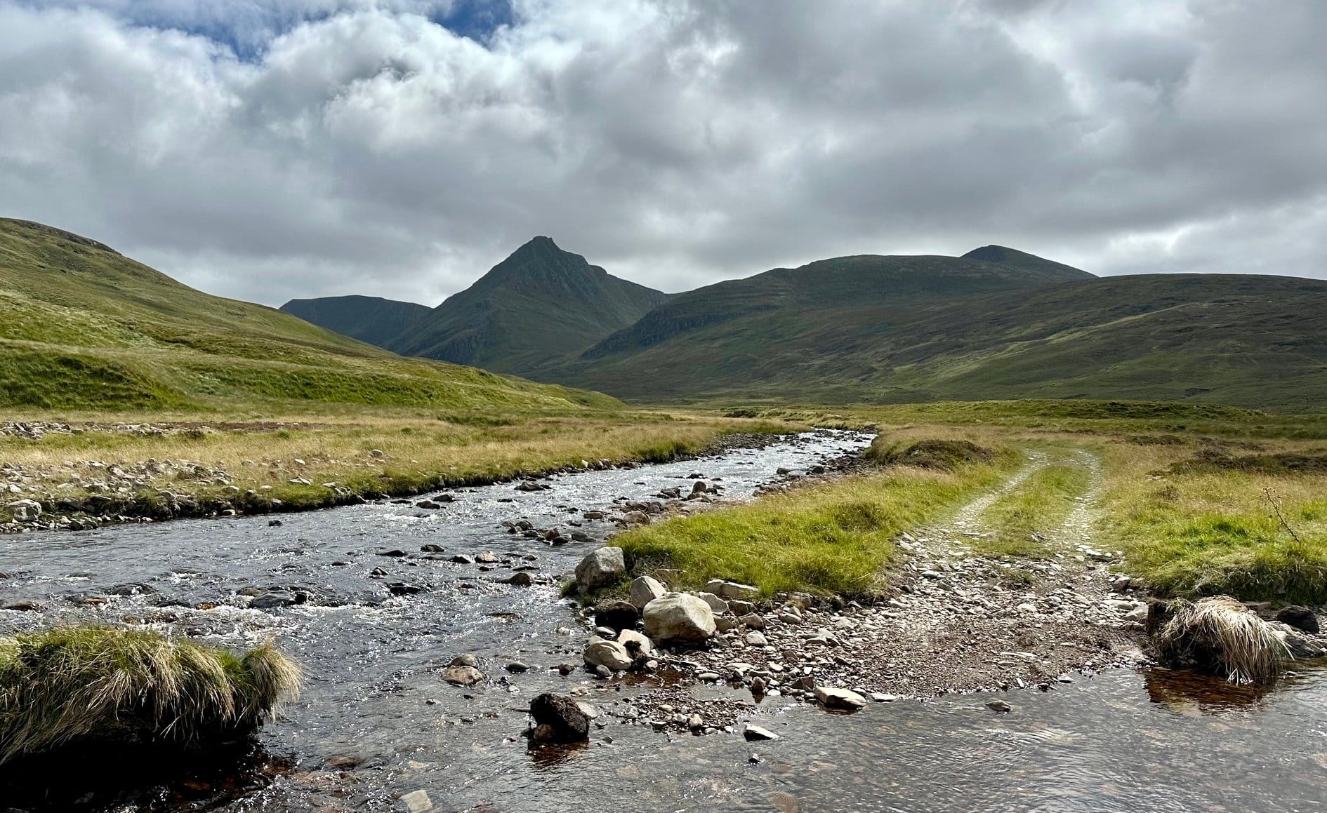
DARK BEAUTY: An Sgurr and Seana Bhraigh
EVERY day is a school day in the mountains and one of my harshest lessons came during an ascent of lonely Carn Ban.
It's a long way to this sprawling Corbett in the heart of the Freevater Forest from any direction. First time, I chose to walk the near 45km out and back from Black Bridge. I decided to go light for speed and paid a painful price.
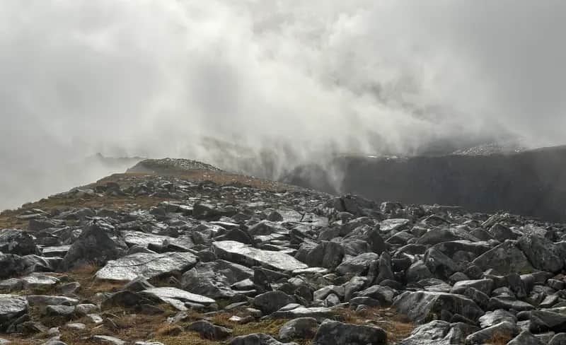
The weather unexpectedly turned during the summit approach: the grey descended, views disappeared, the winds picked up and the temperature plummeted about ten degrees. But it was on the way back out that I really suffered.
I still had three hours to go when the thunderstorm struck. This was no passing shower – the rain came down with a ferocity that seemed impossible to sustain but it lasted for nearly an hour. There was no chance of shelter so I had to keep pushing on.
Shortly after the rain did ease, there was a sudden, intense pain in the sole of one foot. The other one soon suffered the same fate. My feet had become so softened by the constant soaking that the skin on both soles had lifted off. It was an extremely painful hobble back to the finish. I was off my feet for three days.
That trauma was a major factor when I looked at options for revisiting Carn Ban. The route from Oykel Bridge to the north is significantly shorter but it doesn't get much of a mention in guidebooks which focus more on cycling from further away. I've used it on a couple of occasions to tackle Seana Bhraigh when you could drive the rough track up to Corriemulzie Lodge. That's no longer permitted but you can still go as far as The Schoolhouse bothy. And if we're talking about learning lessons, where better to start?
Even with the walk distance pared to 31km, this required a two-day journey with an overnight in the bothy. To get there took more than six hours; a coffee break at the truck stop at Newtonmore, fish suppers in Alness, a small refreshment in the Oykel Bridge Hotel as the rain hammered down before the maximum 10mph bump along the potholed and waterlogged track. The deterioration from previous visits was marked – it's less than four miles but it took nearly half an hour.
This small shelter was the school for the scattering of local families until the late 1930s and the tales of hardship and ingenuity endured by teachers and pupils over the years is a volume all to itself. There are three rooms, one partially preserved as a classroom with books, maps and even a blackboard.
In this vast, mostly empty, landscape it's a handy and sometimes vital stop-off for those doing the Cape Wrath Trail. There was already someone occupying one of the rooms when we got there and another arrived during the night.
We set off early next morning under clearing skies following the twists and turns of the Corriemulzie River towards the distant mountain horizon, the soaring point of An Sgurr forcing its way through the early cloud and looking more impressive, more forbidding, with every forward step. For a time, there was a curious feeling that we being led away from our objective, but the track eventually takes a big swing to the left to reach the river.
This was the crux of the walk. There are stepping stones but in times of spate the crossing can become impossible. The water was running high and fast from the previous days' downpours and we had debated using a bridge about a mile further back but that would have involved a lengthy trek over rough, pathless ground. We decided to take our chances with the river.
Some of the stones were under water, some with deep, fast-moving runs to either side. Andy waded across further upstream. It meant wet feet but he felt it was safer for the dog. I went with the stepping stones, but took them at an angle from further down. There were a couple of moments to stop and ponder, but I made it without a slip.
The sense of isolation only grew even stronger as we made our way into the calm and silence of magnificent Coire Mor and its lightly rippled lochan cradled below the rugged plunging faces of the Seana Bhraigh and Carn Ban amphitheatre.
Tucked in on the eastern shore of the loch is Coiremor, a welcome sanctuary in this empty quarter. Being so far off the main routes means visitors are few and far between – the bothy book's last entry was ten days before us – and it's in remarkably good shape, a tribute to those who maintain and care for it. A former stables, it has three separate sections, one of which is Magoo's Bothy, named in memory of Mark 'Magoo' Maguire, an RAF airman who died in a helicopter crash along with colleague Andy Crous during peacekeeping duties in Kosovo in 2001. The RAF had been instrumental in delivering building materials during the bothy's construction.
Steep grassy slopes behind the shelter took us round crags and on to the ridge, the route onwards a series of rises over easy ground until the final spongy stretch to the cairn in the middle of the flat summit of Carn Ban, the highest point of an extensive series of gently rounded tops rolling away to the south and east. The contrast with the jagged skyline of Seana Bhraigh couldn't be greater. There may only be a height differential of some 80 metres but these are two mountains at either end of the spectrum.
You have to hand it to Carn Ban for panoramic views though: there are mighty mountains in every direction, from the Beinn Dearg group and the Fannaichs to Ben Wyvis, to the familiar shapes of the far northern hills, such as Suilven, Stac Pollaidh and all the lumpy neighbours. Of course, a long walk in means a long walk back and along with the lack of shelter on this wide open summit and a very chill wind for August, we decided to cut short the star spotting and head down.
The rivers were running lower so an easier prospect on the return and we arrived back at the Schoolhouse after a playtime of nine hours. Even the short drive out was better, with diggers filling in the holes along the track. And this time, I still had the use of my feet at the finish. All in all, an A-plus adventure in a breathtaking landscape.