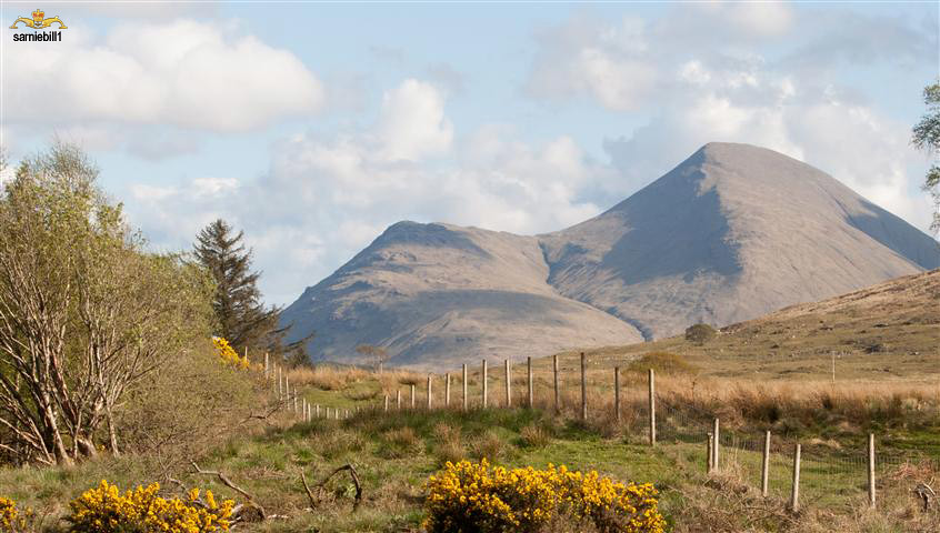
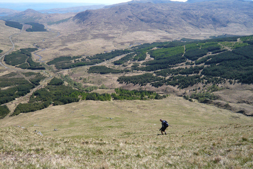
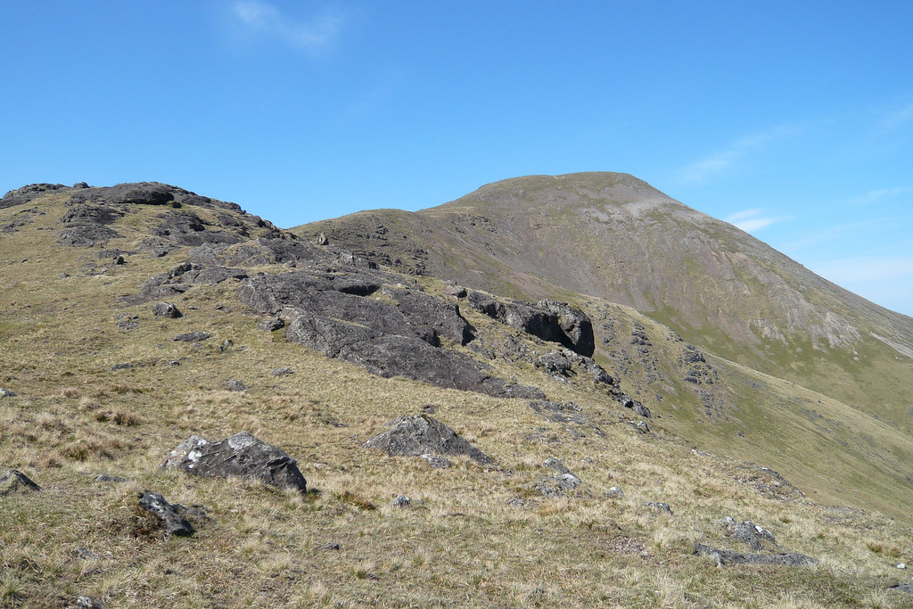
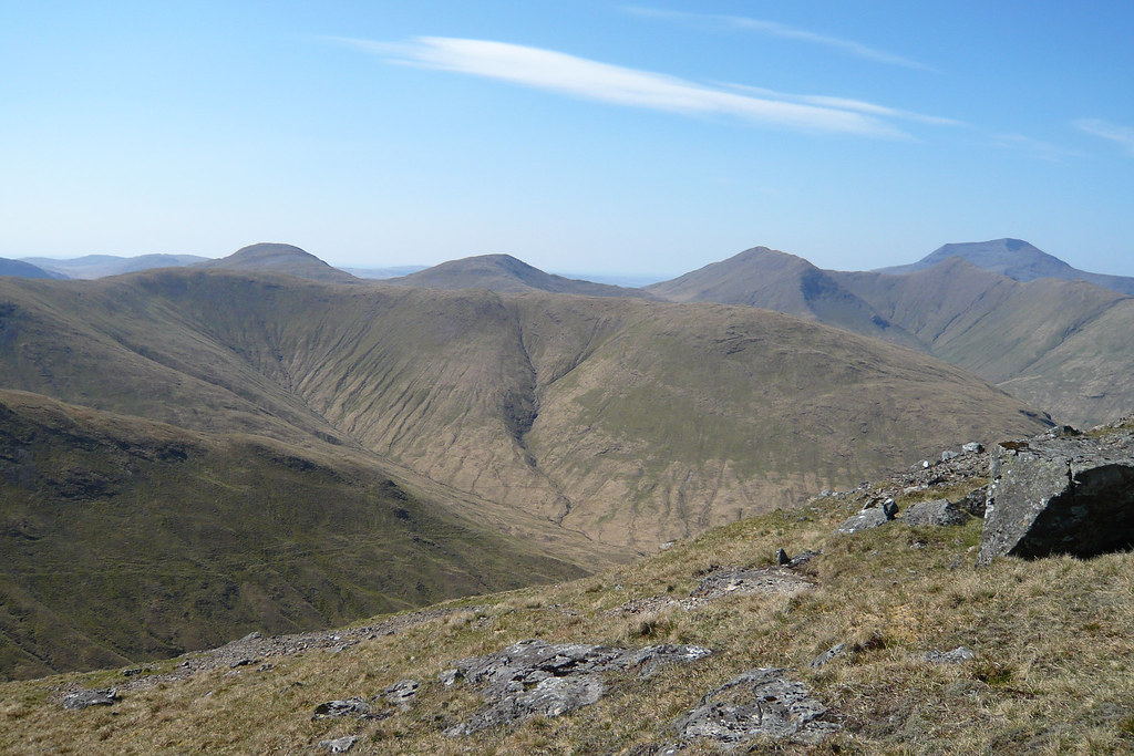
Beinn Talaidh
Classification: Graham
Location: Mull and Nearby Islands
Height: 762 metres (2499 feet)
Drop: 430 metres
Col: 332metres (NM553332)
Observations: Ground is 0.23m higher than base of trig point; base of cairn 25m SW at NM 62536 34680 is about 0.8m lower
Summit Feature: Ground 5m E of trig point
Latitude/Longitude: 56.444568, -5.854285
Grid Reference: NM625347 (NM 62549 34700)